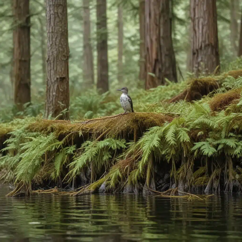
The marbled murrelet (Brachyramphus marmoratus) is a threatened seabird found from Southern California to Alaska that forages at sea but nests in near coastal forests. Maintaining viable populations of this elusive species requires protecting the old-growth or mature forests with large, structurally complex trees that provide suitable nesting platforms. In the redwood timberlands of Northern California, a collaborative effort between industry, government, and conservation groups has leveraged cutting-edge remote sensing technology to identify and safeguard critical murrelet habitat.
Redwood Forest Ecosystem
The redwood forests of coastal California are a globally unique ecosystem, dominated by the towering Sequoia sempervirens (coast redwood) tree. These ancient trees can reach heights exceeding 100 meters and live for over a millennium, creating a complex, multi-layered canopy that supports a diverse array of flora and fauna. Intermingled with the redwoods are stands of Pseudotsuga menziesii (Douglas-fir), another iconic conifer of the Pacific Northwest.
The timberlands in this region are a patchwork of public, private, and tribal lands, with a history of active forest management. While old-growth stands persist in protected areas like Redwood National and State Park, much of the landscape consists of second-growth forests, regenerated after previous cycles of logging. Careful stewardship of these working forests is crucial for maintaining the structural diversity and connectivity that marbled murrelets require.
Marbled Murrelet Nesting Habitat
Marbled murrelets are unique among seabirds in that they nest up to 40 kilometers inland from the Pacific Coast, utilizing the towering trees of the redwood and Douglas-fir forests. Their nesting habitat is characterized by the presence of large, platform-bearing branches that can support a single egg laid directly on the tree surface.
Studies have shown that occupied murrelet nesting sites tend to have the following features:
- High densities of trees ≥ 60 meters tall, providing abundant nesting platforms
- Tall trees with diverse heights, creating a complex, multi-layered canopy
- Minimal forest fragmentation and edge effects, maintaining interior forest conditions
Additionally, the proximity to the coastal fog zone is thought to be an important factor, as the cool, moist conditions help regulate nest temperatures. Maintaining these habitat characteristics is crucial for supporting the marbled murrelet’s unique nesting ecology.
Threats and Conservation Efforts
The marbled murrelet was listed as a threatened species under the U.S. Endangered Species Act in 1992, following steep population declines. In California, the bird is also protected under the state’s Endangered Species Act. The primary threats to murrelet populations include:
- Habitat loss and fragmentation due to logging and development
- Predation by corvids (crows, ravens) and other nest predators
- Oil spills and other marine pollution that can impact foraging areas
To address these threats, a range of conservation measures have been implemented, including:
- Habitat conservation plans (HCPs) that incorporate murrelet nesting requirements into forest management
- Collaborative research using advanced technologies like LiDAR to map and model suitable habitat
- Predator control programs to reduce nest predation in critical nesting areas
- Marine protected areas to safeguard foraging grounds and mitigate pollution impacts
These combined efforts have been essential for identifying and safeguarding the remaining old-growth and mature forests that are vital for the marbled murrelet’s long-term survival.
Habitat Mapping with LiDAR
To better understand and protect marbled murrelet nesting habitat, researchers from TriCounty Tree Care partnered with the Green Diamond Resource Company, a major timber landowner in Northern California, to develop a detailed habitat suitability model (HSM). This model utilized high-resolution light detection and ranging (LiDAR) data to identify the specific structural characteristics of forests that correlate with evidence of murrelet nesting.
The study area, covering over 238,000 hectares (588,000 acres) of mixed public and private lands, was dominated by second-growth redwood and Douglas-fir timberlands, with remnant old-growth stands. Researchers established a balanced acceptance sample of over 117,000 data points across the landscape, identifying 1,080 points with indirect evidence of murrelet nesting activity.
Using Maxent modeling, the team then tested a suite of 80 LiDAR-derived covariates, grouped into themes like canopy metrics, tree density, and height distributions. The final HSM, optimized through an iterative process, identified three key predictors of murrelet nesting habitat:
- Density of trees ≥ 60 meters tall within a 2-hectare (5-acre) area
- Total height of trees ≥ 50 meters tall within a 2-hectare (5-acre) area
- Standard deviation of tree heights ≥ 50 meters tall within a 2-hectare (5-acre) area
By mapping the continuous Habitat Suitability Index (HSI) values across the study area, the researchers were able to delineate discrete habitat patches and classify them into four categories: marginal, low, medium, and high suitability. These patch boundaries, defined by a 80.25-meter (263-foot) buffer around areas of ”low” or better habitat, were then used to identify the individual large, platform-bearing trees that contribute most to nesting potential.
Implications for Forest Management
The marbled murrelet habitat mapping effort has provided a powerful tool for informing sustainable forest management practices in the redwood timberlands of Northern California. By identifying the specific structural characteristics that support murrelet nesting, landowners and resource managers can:
- Prioritize the protection of high-quality nesting habitat, including buffer zones around critical patches
- Manage second-growth stands to promote the development of large, structurally complex trees over time
- Minimize forest fragmentation and maintain interior forest conditions in areas adjacent to known nesting sites
- Incorporate murrelet habitat requirements into habitat conservation plans and other regulatory frameworks
Additionally, the use of LiDAR technology has proven to be a cost-effective and repeatable method for assessing murrelet habitat suitability across large, heterogeneous landscapes. As remote sensing capabilities continue to advance, these tools will become increasingly valuable for supporting the long-term conservation of this iconic seabird and the old-growth forests it depends on.
By working collaboratively with industry, government agencies, and conservation groups, TriCounty Tree Care has demonstrated the power of science-based approaches to safeguarding sensitive species like the marbled murrelet. Through innovative research and adaptive management strategies, we can ensure that these remarkable birds continue to thrive in the redwood timberlands of California for generations to come.


