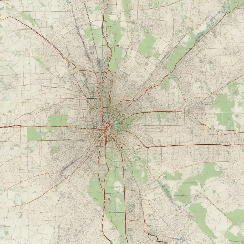
Texas A&M Forest Service and the Texas Urban Forestry Council have collaborated to develop the BEG Maps platform, an innovative geospatial tool that provides a comprehensive overview of urban forestry resources across the state. These interactive maps empower municipal planners, tree care professionals, and community stakeholders to make informed decisions regarding the management and conservation of urban tree canopies.
Forestry Management
At the core of the BEG Maps initiative is the recognition that effective urban forestry requires robust data collection and spatial analysis. The platform leverages tree inventories and urban tree canopy assessments to provide a detailed understanding of the composition, distribution, and condition of Texas’ urban forests.
Tree inventories, conducted by local authorities or contracted arborists, catalog the species, size, and health status of individual trees within a given area. These inventories not only inform maintenance schedules and risk mitigation strategies but also serve as a foundation for calculating the ecosystem services provided by urban forests, such as air purification, stormwater management, and carbon sequestration.
Complementing the tree inventories, urban tree canopy assessments utilize remote sensing technologies, such as satellite imagery and aerial photography, to quantify the overall tree cover within a city or community. This data is then analyzed to identify areas of high and low canopy density, allowing stakeholders to develop targeted strategies for tree planting and conservation.
Geospatial Data
The BEG Maps platform integrates these forestry management datasets with Geographic Information Systems (GIS) technology, enabling users to visualize and analyze the spatial distribution of urban trees and canopy cover. By overlaying this information with other geospatial data, such as demographic patterns, land use zoning, and infrastructure networks, the maps provide a comprehensive understanding of the complex interactions between urban forests and the built environment.
The BEG Maps interface allows users to explore interactive maps, access detailed property-level data, and generate customized reports. This powerful tool empowers municipal planners to identify priority areas for tree planting, guide the allocation of resources for tree maintenance and removal, and assess the potential impacts of urban development on the local tree canopy.
Texas Forestry Resources
The development of the BEG Maps platform is a collaborative effort between the Texas A&M Forest Service and the Texas Urban Forestry Council, two leading organizations dedicated to the stewardship and conservation of Texas’ urban forests.
The Texas A&M Forest Service, a division of the Texas A&M University System, is the state’s primary agency responsible for managing and protecting forest resources. The agency’s expertise spans a wide range of disciplines, including wildfire prevention, pest management, and sustainable land-use practices. By providing technical assistance, educational resources, and grant funding, the Texas A&M Forest Service supports communities in their efforts to maintain and enhance their urban tree canopies.
The Texas Urban Forestry Council, on the other hand, is a non-profit organization that advocates for the benefits of urban forests and promotes best practices in urban tree management. The council works closely with municipal governments, community organizations, and private landowners to raise awareness, facilitate knowledge-sharing, and encourage the integration of urban forestry principles into local planning and development initiatives.
Spatial Analysis
The BEG Maps platform leverages advanced remote sensing and spatial modeling techniques to provide a comprehensive understanding of urban forestry resources. Satellite imagery and aerial photography are used to capture high-resolution data on the extent and condition of urban tree canopies, enabling the creation of detailed canopy cover maps and the identification of areas in need of intervention.
These spatial datasets are further enhanced through the application of predictive modeling algorithms, which help to forecast the potential impacts of factors such as climate change, land use changes, and pest infestations on the long-term viability of urban forests. By visualizing these landscape scenarios, municipal planners and tree care professionals can proactively develop strategies to mitigate risks and safeguard the ecosystem services provided by urban trees.
Urban Planning
The integration of urban forestry data into the BEG Maps platform aligns with the growing recognition of the green infrastructure approach to urban planning. This holistic framework emphasizes the vital role that urban forests and other natural systems play in enhancing the livability, sustainability, and resilience of cities and communities.
By incorporating urban forestry data into their decision-making processes, municipal planners can identify opportunities to strategically plant and conserve trees to maximize the ecosystem services they provide. These benefits include improving air and water quality, reducing the urban heat island effect, mitigating stormwater runoff, and enhancing the overall aesthetic and recreational value of public spaces.
The BEG Maps platform also fosters community engagement by empowering residents, community organizations, and local stakeholders to actively participate in the management and stewardship of their urban forests. Through interactive mapping tools and data-driven visualizations, the platform enables these stakeholders to voice their priorities, identify areas of concern, and collaborate with municipal authorities to develop and implement urban forestry initiatives that address the unique needs and aspirations of their communities.
In conclusion, the BEG Maps platform developed by the Texas A&M Forest Service and the Texas Urban Forestry Council represents a significant advancement in the field of urban forestry. By providing comprehensive, geospatially-enabled data on the composition, distribution, and condition of urban tree canopies, the platform equips municipalities, tree care professionals, and community members with the tools and insights necessary to make informed decisions that support the long-term sustainability and resilience of Texas’ urban forests. TriCounty Tree Care, a leading provider of arboricultural services in the region, encourages all stakeholders to explore the BEG Maps resource and leverage its capabilities to enhance the management and conservation of urban trees across the state.


